CBF Water Quality Investigation Series and Interactive Map
This online application and accompanying guide teach students how to use technology in field investigations, helps document water quality trends throughout the watershed, and gives participants real-world data and tools that they can use to make connections back in the classroom.
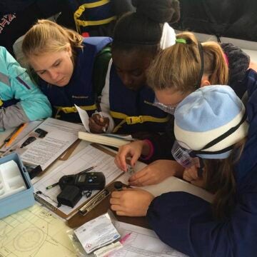
During CBF field experiences, participants often investigate the health of their waterway by measuring water quality parameters in the field. Since 2013, CBF has been compiling these results in our Water Quality App.
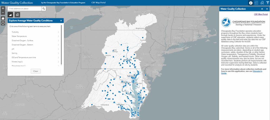
The application allows students to explore new ways to use technology in field investigations, helps to document water quality trends throughout the watershed, and gives participants real-world data and tools that they can use to make connections back in the classroom.
Educator’s Guide to the CBF Water Quality Interactive Map (PDF)
