Directions to Smith Island Environmental Education Center
Find detailed directions to CBF's Smith Island Environmental Education Center here.
Departure/Arrival Times
Plan to arrive at the marina by noon to eat lunch before boarding the CBF boat at 12:30 pm. CBF staff will be there by 12:15 p.m. to greet the group and help load the boat. The group will depart Smith Island no later than 11:30 a.m. on the departure day, arriving back at the marina by 12:45 p.m. The ferry schedule is weather dependent and may be subject to change.
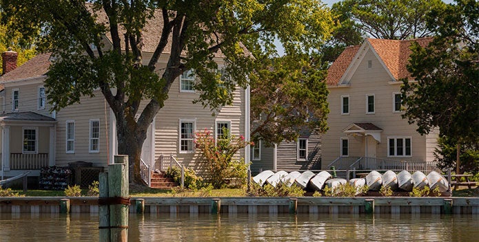
Via Somers Cove Marina
715 Broadway
Crisfield, MD 21817
Map
From the Bay Bridge/Annapolis
- Take US-50 East across the Bay Bridge towards Salisbury/Ocean City.
- Take US-13 South toward Pocomoke City.
- Continue on US-13 for approximately 22 miles.
- * Exit onto US-413 toward Crisfield.
- After about 15 miles you will be driving through downtown Crisfield.
- Turn Left onto S Seventh St. at the Smith Island Cruises sign.
- Take your first Right onto Broadway Ave. at the Somers Cove Marina sign and drive through the black gate into the marina’s back parking lot.
- If the gate is closed, return to S Seventh St. and take the next right through the automated gate into the marina’s main parking lot. Proceed to the back parking lot via the driveway on the back right.
- The CBF boat will be parked in a slip off of this back parking lot.
- Educators will provide parking passes allowing cars and buses to stay parked overnight.
From Bay Bridge Tunnel/ Norfolk
- Follow US-13 North to VA-413 to Crisfield. Follow from * above.
Via Smith Point Marina
989 Smith Point Road
Reedville, VA 22539
Map
Available between April 15 and October 15
From points North
- Take I-95 South to Fredericksburg.
- About 5 miles South of Fredericksburg, take US-17 South to Tappahannock.
- In Tappahannock, turn left onto US-360 East/Queen St.
- *Take US-360 East for approximately 40 miles.
- Just before Reedville look for Bay Motel on the right then bear Left onto Sunnybank Rd.
- Turn right onto Smith Point Rd.
- After road bends left, take first left turn at the Smith Point Marina sign.
- At T-intersection, turn Right toward the marina office and park in the gravel loop by the far boat ramp, where the boat will be docked.
- Cars and buses may park in the marina overnight. No parking pass is needed.
From points South
- Take I-95/I-295 North to Richmond.
- Take US-360 East until it merges with US-17 in Tappahannock.
- Turn right onto US-360 East/Queen St. Follow from * above.
Via Saxis Public Pier
19484 Saxis Road
Saxis, VA 23427
Map
From the Bay Bridge/Annapolis
- Take US-50 East across the Bay Bridge towards Salisbury/Ocean City.
- Take US-13 South toward Pocomoke City/Norfolk.
- Turn right onto Saxis Rd.
- * Follow for approximately 12 miles until road dead ends at the water; Saxis Public Pier is on the right.
- Cars and buses may park at the pier overnight. No parking pass is needed
From Bay Bridge-Tunnel/Norfolk
- Take US-13 North across the Bay Bridge-Tunnel toward Salisbury.
- Turn left onto Saxis Rd. Follow from * above.
Internal note: CBF staff must let Saxis dock master Hance Martin know if vehicles plan to park overnight (cell: 757-894-1262, work: 757-824-4792). Accurate as of 5/13/2026.
