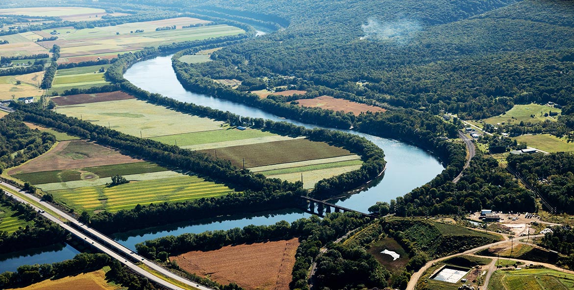
The six Chesapeake Bay watershed states and the District of Columbia aim to plant 900 miles of streamside forests each year through 2025. Acting as a natural barrier, so-called riparian buffers are one of the most effective ways to trap nutrient-laden water runoff on the land, and they are poised to play an increasingly important role as climate change triggers more severe storms.
But where do buffers work best? And how much are they worth? Those are the questions CBF’s GIS Program Manager Katie Leaverton and Pennsylvania Watershed Restoration Manager Molly Cheatum set out to answer.
This spring, as part of CBF’s Buffer Bonus program, they’re piloting a new mobile tool in Centre County, Pennsylvania, that will help farmers not only tailor buffers to best trap nutrients on their property, but also compensate them accordingly.
“On a particular piece of land, there are good places to put buffers and not as good places to put buffers,” said Leaverton. “Given the limited amount of money available, we want buffers to go into the right places to get the highest water-quality benefits.”
Currently, buffer designs generally adhere to a standard width—for example, a 30-foot-wide buffer or a 100-foot-wide buffer—and farmers are paid a standard amount per acre, regardless of the location on their property. But depending on how water flows across the landscape and how the land is farmed, certain parts of a stream may need more, or less, protection. And buffers in certain areas may trap more pollution than others, making them more or less valuable.
Leaverton, working with partners at the Chesapeake Conservancy, used detailed maps of landcover, water flowpaths, and other data to build a mobile tool that calculates the value of a forested buffer on any given acre in the county. In practice, the tool will allow restoration specialists and farmers to meet in the field, draw various potential buffer designs on a tablet, and immediately see the worth of those buffers in terms of water quality and financial compensation for the farmer.
“I think it’s really important for farmers to understand why they’re making a decision,” said Cheatum. “This puts it into context. Maybe they’re not always looking at the conservation side of things, but they’re very economically minded, so this tool brings that conversation to them in economic terms.”
Cheatum and Leaverton hope to eventually expand the tool to other counties in Pennsylvania to help the Commonwealth reduce pollution locally and downstream in the Bay.
“When you make better decisions on your land, the public benefits from that,” Cheatum said. “This tool starts a conversation that normally doesn’t happen from that perspective.”